A little over a week ago, L. and I got in the car and headed west – prepared to travel roughly 3,000 miles from coast to coast.
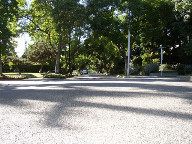
From Virginia Beach, we went north toward Indiana, to visit friends and family. Somewhere along the way, it began to look like autumn instead of summer. I love autumn, so I was happy even though the view was a blur. I wanted to stop at the
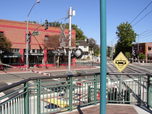
Monroeville Mall outside of Pittsburgh, Pennsylvania – to see where the original
Dawn of the Dead was filmed – but my idea was vetoed. And justifiably so. As it was, the drive lasted 13 hours.
The next day, we went to Mt. Baldy in Michigan City – the highest point in Indiana. The sand dunes reminded me of Jockey’s Ridge in the Outer Banks, North Carolina, but they’re on Lake Michigan instead of the Atlantic Ocean… And the view is slightly corrupted by an imposing power plant nearby. I was reading a book of interviews with director David Lynch during the trip, and this juxtaposition of man and nature seemed like something he would appreciate. “A serene landscape is totally boring to me,” he says, “I like the idea of man and earth together – like a pit mine with heavy machinery…”
All of Lynch’s films have a strong sense of place, and most are inspired by his own personal experience of America. Lynch’s father worked for the Department of Agriculture, so he was moved around a lot as a kid – from Spokane, Washington to Durham, North Carolina to Boise, Idaho to Alexandria, Virginia. After college, he settled in Philadelphia. The culture shock inspired his first feature film
Eraserhead. “I think if you grow up in the city,” he says, “you’re frightened by the country and if you grow up in the country, you’re frightened by the city.” He’s always been captivated by the “nowhere part of America" – the forgotten, the abandoned, the underneath. In his mid-twenties, Lynch moved to L.A., and he’s been here ever since.
On Saturday, we left South Bend – trying to beat the Notre Dame football crowds – and headed into what was, for me, uncharted territory.
We stuck to Interstate 80 through Illinois, mainly because there was no indication that we were missing anything important by doing so. There were signs for Lincoln’s birthplace and Ronald Reagan’s hometown, and I was somewhat curious about Joliet (since the Joliet State Penitentiary was home to the Blues Brothers). Mostly there was corn. Miles and miles of corn.
As we rolled on, we learned to be wary of towns that claimed to be the birthplace of someone famous. Intelligent travelers should always ask where interesting people lived once they were old enough to make their own decisions -- None of us have any control over where we were born.
Take, for example, the sleepy town of LeClaire, Iowa – birthplace of
Buffalo Bill Cody. It’s quite charming, but really no more interesting than a thousand other sleepy towns in Iowa, except for the fact that it happens to sit on the Mississippi River... a rather narrow stretch of the Mississippi River. For students of American history or literature, the name Mississippi conjures images of a god-like force of nature. In LeClaire, unfortunately, the river is pretty underwhelming. Like LeClaire itself.
The Iowa tourist-trappers also rely on claims that their state is the birthplace of several noteworthy figures: Herbert Hoover, Wyatt Earp and John Wayne. In addition, it is home to the bridges of Madison County and Kevin Costner’s field of dreams. My AAA guide promised “a place where you’ll find an abundance of corn and cattle, but where the rolling fields yield a cornucopia of other surprises.” Apparently, however, all of the surprises are far from I-80. Don’t get me wrong… The rolling fields of corn are actually quite beautiful, with the sun reflecting off of them as they waver in the autumn breeze. But after a while…
Travel writer Bill Bryson, another Iowa native, is brutally honest about his home state: “Taking a scenic route in Iowa is like talking about a good Barry Manilow album. You have to make certain allowances. Compared with an afternoon in a darkened room, it wasn’t bad.” He’s less enthusiastic about Nebraska: “Nebraska must be the most unexciting of all the states. Compared with it, Iowa is paradise. Iowa at least is fertile and green and has a hill. Nebraska is like a 75,000-square-mile bare patch. In the middle of the state is a river called Platte, which at some times of the year is two or three miles wide. It looks impressive until you realize that it is only about four inches deep. You could cross it in a wheelchair. On a landscape without any contours or depressions to shape it, the Platte just lies there, like a drink spilled across a tabletop. It is the most exciting thing in the state.”
The AAA guide, of course, tries to make it sound more majestic: “Even though Nebraska’s undulating farmland may recall waves on an ocean, odds are good you won’t get seasick.” Who writes this crap? The prose alone was enough to make me sick, and I didn’t see any undulating farmland, so I have to assume that the writer has never been to Nebraska – he must have stopped in western Iowa and figured he’d seen all there was to see.
In short, Iowa and Nebraska promised to be the most tiresome part of our trip – though Friday night karaoke in Mishawaka, Indiana, must surely place a close second. We embraced the open road and headed into the nowhere part of America, relying on music for entertainment. We found that classic rock – especially Pink Floyd and Led Zeppelin – works well in Middle America.
Music is a huge part of any trip for me. It adds emotional color to every experience and, when the trip is over, conjures vivid memories. Maybe this comes from watching so many movies, but life sometimes doesn’t seem “real” to me without a proper soundtrack. When I went to Lake Titicaca, the highest elevated lake in the world, I was listening to the first Underworld album, and I can still see the lake when I hear “Dirty Epic.” Trance always reminds me of my first summer in London. Zero 7 and Frou Frou remind me of India.
It’s the same with movies. I can usually tell you exactly where and under what circumstances I saw a film for the first time. And because I’ve seen so many, I started this cross-country road trip with a fair number of preconceptions. As we drove through Nebraska, I thought of Jack Nicholson in
About Schmidt, laboriously making his way from Omaha to Denver. Like Schmidt, we stopped in Kearney, Nebraska (which my AAA guide told me was once considered as the site of the nation's capital!) and marveled at the Great Platte River Road Archway Monument and pioneers memorial. Perhaps “marveled” is too strong a word. But we did take a photo. Because we were half asleep, we also got a hotel room for the night.
Kearney, by the way, is pronounced CAR-ney. Nuff said.
The next morning, we headed toward North Platte – the
real home of Buffalo Bill Cody. I had heard of North Platte because I once worked on an episode of the Discovery Channel series
The FBI Files that was set there. I can attest that even the criminals in North Platte are relatively uninteresting.
At this point, we thought we had already reached the nowhere part of America. We were wrong. In western Nebraska, the land became completely flat and the sky turned to the color of ash. There were no towns, no houses. At one point, we saw a group of cows that seemed to have wandered too far from home.
How could they survive out here?!
To be perfectly fair, I must admit that the vastness inspires a certain kind of contemplation. You look in vain for something distinctive and memorable, and see a flock of birds forming erratic patterns in the sky as the wind carries them in different directions, and you start to think that everything –
anything – is a metaphor for life.
In Colorado, the rolling hills return… Everything else is the same. Then, after hours of driving, we caught sight of the skyscrapers of Denver, and the Rocky Mountains behind them. For some reason, I had always imagined Denver at the top of the mountains, rather than in the foothills. The city was smaller than I’d expected. We stopped, visited friends, and tried to shake off memories of Iowa and Nebraska.
On Monday morning, we got back on the road and drove into the Rockies, which were shrouded in dense fog and rain. We stopped in Idaho Springs, a small mining town where the gold rush began, then headed toward Breckinridge and Vail – ski resorts for people far richer and more athletic than I will ever be. We passed through massive limestone tunnels in White River National Forest, and followed narrow roadways where the jagged rock was first carved away by the Colorado River. (Somewhere, I read that the Colorado feeds 12% of the waterways in the continental United States. I can’t cite my source for this information, but whether or not this is true, I think it conveys an appropriate amount of respect for the river.) We continued west into dry hills where the autumn landscape looked like a
Bob Ross painting... as if he had taken his brush to the western part of the state.... deeply stoned and crooning, “Happy trees…. Little happy trees…”
As we approached the Utah border and Mormon country, the landscape became barren and the sky turned black. (Another metaphor?) After Grand Junction, we decided we’d had enough of scenic I-70, and turned south on Route 128 along the Colorado River, toward the hippie haven of Moab. In the next two hours, we made our winding way through the red rocks during a freak rainstorm. The water, stained red, rushed off of the cliffs above us in waterfalls. It was a little anxiety-inducing, but absolutely breathtaking. I dug deep into my CD collection, and came out with a few faintly memorable albums that I hadn’t listened to for years, which seemed odd enough to fit the occasion: Crystal Method, Hooverphonic and Angelo Badalamenti’s score for
Twin Peaks.
We rolled south on 191 into the Valley of the Gods. To the northwest, stormclouds filled the sky. I tried to get a photo of lightning in the distance, but I was never quick enough with the camera. (I’ll post one of the attempts below, and you can use your imagination…. Or Photoshop, or whatever.) In the town of Bluff, we got on 163 west toward Monument Valley – director John Ford’s favorite shooting location (see
Stagecoach, My Darling Clementine, The Searchers, Fort Apache, She Wore a Yellow Ribbon, Rio Grande, How the West Was Won, etc). This was by far the most stunning part of the drive. Pictures simply won’t do it justice. In a place like this, you realize how much detail the human eye can absorb, and how that perception affects the mind, filling it with awe.
We took 160 through Navajo Nation, as darkness fell. For more than an hour, there was a yellow glow on the western horizon, between layers of storm clouds. Then pitch black. The only sources of light were the moon and the stars (all seven billion of which were visible in the night sky) and the headlights of the occasional passing car. As we drove, it became impossible to keep track of time. We were completely exhausted by the time we reached Grand Canyon Village, secured the last hotel room in the entire park, and passed out.
The next morning, we realized that we had driven into the park along Desert View road (64 west), alongside the Grand Canyon, which had been completely hidden in cover of darkness. We walked toward the Hermit’s Rest trail alongside the South Rim, to get our first view.
A little background: The Grand Canyon is 277 miles long, an average of ten miles wide, and nearly one mile deep. The oldest section of exposed rock dates from approximately 1.7 billion years ago. The canyon itself, formed by the Colorado River, has been in process for five or six million years. At the ripe old age of 27 years, I don’t know what to say in response to this. In fact, I don’t think I should say anything. Anyone who tries to describe the experience of seeing the Grand Canyon is, of necessity, belittling it.
Ditto for photographs – the sight simply will not fit into any frame, and no camera can capture the kind of detail that you absorb by being there in person. In photos, huge boulders in the distance look like grains of sand. The Colorado River looks like a stream. In person, the sense of space and time is staggering. I was reminded of my trip to India a few years ago. I stayed with a wonderful couple at
Camp Corbett in the Kaladhungi forest. Those few days in the foothills of the Himalayas were one of the most humbling experiences of my life. The Grand Canyon was equally inspiring.
Bill Bryson does a good job of summing up: “Nothing prepares you for the Grand Canyon. No matter how many times you read about it or see it pictured, it still takes your breath away. Your mind, unable to deal with anything on this scale, just shuts down and for many long moments you are a human vacuum, without speech or breath, but just a deep, inexpressible awe that anything on this earth could be so vast, so beautiful, so silent… It is the most awesome, most silencing sight that exists on earth.”
Sadly, we were only passing through. In the afternoon, we headed southwest into Arizona toward Lake Havasu City, listening to The Orb’s “Little Fluffy Clouds.” According to my friend Dave, Lake Havasu is the shooting location of the “Girls Gone Wild” series – in other words, it’s where the southwest’s most nubile women come to party.
The big draw for us was the original London Bridge, situated on Lake Havasu. The five-arch granite bridge was built in 1831, and spanned the Thames River from the City of London to Southwark until 1967, after which it was bought by an American oil baron who paid nearly $2.5 million to have it transported to Lake Havasu City. The bridge is an odd sight in this desert oasis, set against palm trees and distant mountains... but it’s not as if the locals haven’t tried to make it fit in. There is a quaint little replica of an English village on the shores of Lake Havasu. Most of the buildings are stucco, and painted in southwest colors. We sat and gazed at this distinctly American anomaly from the windows of nearby Barley Brothers brewery, which won my heart with a strong ale named in honor of Leatherface from
The Texas Chainsaw Massacre.
Our last stretch of open road passed through the Mojave Desert. I couldn’t help thinking:
Isn’t this where they tested the atomic bomb? To me, this seemed like the most interesting explanation for the desolation of the area. The roadside rest stops (there were no other roads in this part of the country) warned us to keep an eye out for snakes and scorpions, the only creatures that can survive there. A few hours later, we caught sight of the San Bernadino mountains, then passed through the Santa Monica mountains en route to our final destination – Los Angeles.
When asked what he likes about the city of Los Angeles, David Lynch says: “It takes longer to appreciate LA than a lot of cities, because it’s so spread out, and every area has its own mood. What I really like about it is, if you drive around – especially at night – you can get a little gust of wind of the great days of the silver screen. All there in, like, living memory. It just makes you
wish that you’d lived in those times.”
So here we are, at the end of our trip… and just getting started.