Then I remembered last summer, when my uncle died and my parents inherited a vast collection of old photo albums, dating back to WWII Europe. As I flipped through those albums, I had no idea where and when many of the photos were taken, and I thought it was a little sad that all the details that could have brought those photos to life had died with my uncle.
This seems like as good a reason as any to keep blogging. I never know who might drop by, and get inspired by one of these random photos. So, without further delay, here comes the latest slideshow...
On the way to Palm Springs, we drove through San Bernadino County, known for its orange groves. A few months ago, I was reading a book on California history, and the author joked that tourists love to stop and pick oranges in SoCal. He added (one imagines, with a sly grin) that they do so at their own peril, and recounted his own first experience of hand-picking an orange on a rural roadside in San Bernadino. No sooner than the orange left the tree, he heard a gunshot and was chased off of the property. California ranchers are notoriously protective of their crop. I guess they have to be. There are a lot of tourists.
This valencia orange grove was right outside the San Bernadino County Museum, so I don't think we would have been shot at. Nevertheless, we played it safe and picked up our souvenir orange from the ground.

On the way through San Bernadino, we also stopped at the Agua Mansa Pioneer Cemetery because.... well, because I'm a weird guy and like visiting old cemeteries. This particular cemetery represents the pioneer communities of Agua Mansa and La Placita, which sat across from each other on the Santa Ana River. They were the first non-native settlements in the San Bernadino Valley and, in the 1840s, the largest settlements between New Mexico and Los Angeles.
According to one of the cemetery overseers, this low-lying region was hit by a massive flood in 1862. Not wanting to suffer the same fate twice, the survivors abandoned the two communities. The cemetery is all that remains.

Some of the tombstones are quite ornate, but unfortunately many of them were vandalized in the 1980s. Today, the cemetery belongs mostly to gophers and rattlesnakes. The last burial was in 1963.

A little further down the road, we stumbled upon Claude Bell's dinosaurs, just off of I-10 in Cabazon. Claude used to run the nearby Wheel Inn. This brontosaurus took him 11 years to complete.

The world's largest dinosaur statues are now under new ownership, and the inside of the brontosaurus has been turned into a museum devoted to... "the science of creationism."
Go figure.

You may remember this T. Rex from his cameo in the Tim Burton film "Pee Wee's Big Adventure." Or (god help you) from the Fred Savage vehicle "The Wizard."

Another distinctive feature along I-10 is this "farm" of wind turbine generators. There are more than 4,000 of them in the San Gorgonio Mountain Pass, which cuts between the San Bernadino Mountains to the north and the San Jacinto Mountains to the south, and is known as one of the windiest places on earth. The windmills provide enough electricity to power Palm Springs and the entire Coachella Valley.

The biggest tourist attraction in Palm Springs is probably the tram ride to the top of the San Jacinto Mountains. I imagine it is also popular with residents in the summer months. On average, the top of the mountain is 30 degrees cooler than the valley below. In the summer, valley temperatures average between 100 and 120 degrees Fahrenheit.
Bring on the snow...

Looking down on the Coachella Valley from the San Jacinto Mountains

On the Desert View trails

Looking south into the San Jacinto Mountains

Looking down from the top of the tram

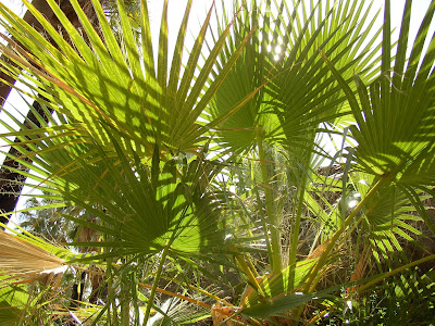
On Sunday, we visited Indian Canyons, home of the Cahuilla Indians. This photo was taken from the top of the Palm Canyon trail. You can tell the path of the river by following the cluster of Washington fan palm trees (named in honor of George Washington). Quite a contrast to the barren, rocky mountains surrounding them.


Racing the sun back to L.A.

No comments:
Post a Comment